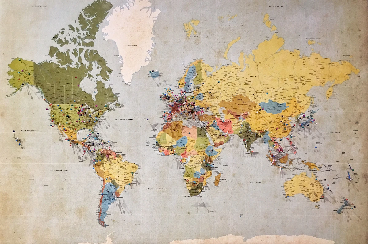
Short answer: Export your Google Contacts to a CSV file, then import that file into Google My Maps. My Maps geocodes the postal addresses automatically and drops a pin for every contact, so you get an interactive map of where everyone lives or works in a few minutes.
I keep hundreds of contacts in Google, and for years they were just a flat list of names. The moment I plotted them on a map, planning trips and meetups got dramatically easier. I could suddenly see which friends were clustered in one city and which addresses were worth a detour. Here is exactly how I do it, using only official Google tools that are free.
Why map your contacts at all?
A visual map answers questions a contact list never can. Who is near the conference I am flying to next month? Which clients are within a 30 minute drive of each other so I can batch visits? Where should I look for a place to stay when I visit a new region? Seeing addresses as pins instead of text turns your address book into a planning tool.
Step 1: Make sure your contacts have addresses
Geocoding only works if a contact actually has a postal address saved. Head to contacts.google.com and spot-check a few entries. Open a contact, click the pencil to edit, and confirm there is an address in the Address field with a city and country. The more complete the address, the more accurate the pin. A bare street name with no city will often land in the wrong place or fail to map at all.
Step 2: Export your Google Contacts as CSV
- Go to contacts.google.com.
- In the left sidebar, click Export. If you only want a subset, tick the specific contacts or a label first.
- Choose the Google CSV format and click Export. A file lands in your Downloads folder.
I usually export everyone the first time, then re-export a single label later when I only care about, say, work contacts.
Step 3: Import the CSV into Google My Maps
- Open Google My Maps and click Create a new map.
- On the new map, click Import under the untitled layer.
- Upload the CSV you just exported.
- My Maps asks which columns to use for placement. Pick the address columns (Google CSV splits address into several fields, so select the ones that together form the full address, or select the combined address column if present).
- Then choose the column to use as the marker title, usually Name.
My Maps runs the addresses through Google geocoding and drops a pin for each one. It will flag any rows it could not place so you can fix those addresses and re-import.
What if my contacts live in Outlook, iCloud or a phone?
You do not need Google Contacts as your primary address book. Export a CSV or vCard from your other service, then import that into Google Contacts first, or import the CSV straight into My Maps if the columns are clean. Outlook, iCloud and most CRMs all export CSV. Once the data is in a spreadsheet with an address column, My Maps can read it.
My Maps vs a spreadsheet: which import is cleaner?
| Source | Effort | Best for |
|---|---|---|
| Google Contacts CSV | Low, one export | Mapping your whole address book quickly |
| Google Sheet with an address column | Medium, you build the sheet | Clean, deduplicated data you control |
| vCard from iCloud or Outlook | Medium, convert to CSV first | Contacts that never lived in Google |
A tip most guides skip: clean the CSV in a Sheet first
Before importing, I open the exported CSV in Google Sheets and add a single column called Full Address that combines street, city, region and country into one cell. Geocoding is far more reliable when it reads one complete address string than when it tries to stitch together five separate columns. I also delete rows with no address so the import stays clean. This one habit fixed the vast majority of my mis-placed pins.
Keeping the map private
A new My Map is private to your Google account by default. If you share the link, be mindful that it exposes people's home addresses, so only share with people who genuinely need it, and prefer sharing with specific email addresses over a public link.
Frequently asked questions
Is Google My Maps free to use?
Yes. Google My Maps is a free tool included with your Google account. You can create maps, import contact data and share them at no cost.
How many contacts can I plot on one map?
A single My Maps layer holds up to 2,000 rows and a map holds up to 10 layers, so you can plot roughly 10,000 points across layers. For most personal address books that is far more than enough.
Why did some contacts fail to appear on the map?
Failed pins almost always mean the address was incomplete or ambiguous. My Maps flags the rows it could not place. Add the missing city or country to those addresses and re-import to fix them.
Can I map contacts that are not in Google Contacts?
Yes. Export a CSV or vCard from Outlook, iCloud or your phone, then either import it into Google Contacts or upload the CSV directly to Google My Maps as long as it has an address column.
Comments
Post a Comment
If you have anything in mind, please let me know!